
Vegetation Map of The People’s Republic of China (1:1000000) Vegetation Map of The People’s Republic of China (1:1000000) (abbreviated as "Vegetation Map" hereinafter) , with CAS member ZHANG Xinshi of the Institute of Botany, Chinese Academy of Sciences as the chief-editor, was published in 2007. The Vegetation Map includes sixty Vegetation Type Map (1:1000000) in folio and one Vegetation Regionalization Map (1:6000000) in standard-sized sheet.The Vegetation Type Maps are present situation Vegetation Map, which reflect the situation of vegetation before the middle of 80s-90s in the last century, represent all country 11 vegetation type groups, 55 vegetation forms, 960 vegetation formations and sub-formations, more than 2000 communities dominant species, and geographic distribution of main and industrial crops; besides, reflect relationship of soil and grass-roots and shallow surface water with many vegetation units. Vegetation Regionalization Map shows difference of vegetation in district of vegetation of China. It divides all country into 8 vegetation regions, 12 vegetation sub-regions, 25 vegetation zone, 116 vegetation districts, and 464 vegetation sub-districts (Edition Board of Vegetation Map of China, Chinese Academic of Science 2007a). There are two volumes of illustrations support the Maps: The first volume brief the history of Vegetation Map, framework and rule of geographic distribution of vegetation in China, principle of classification of vegetation, and system of classification. And species of main formations and sub-formations, characteristic of communities, nature environment condition, ecological geographic distribution, brief economic evaluation, and 868 vegetation photos are involved in this volume. The another volume brief geographic position of vegetation districts and sub-districts, nature geographic condition, vegetation combination feature, making rational use of vegetation, direction of improving and advise of protection, and more than 8700 Latin-Chinese and Chinese-Latin checklist of common plant species that usual appear in figures and illustration (Edition Board of Vegetation Map of China, Chinese Academic of Science 2007b). An optical disk is prepared, a system of Vegetation Map database is established, and a system of simple and easy information managing is build, for the set of Vegetation Maps and illustration in order to be easy to read and use in computer by reader. By making use of these databases and information managing system, readers can random splice, cut, zoom, superimpose, change color, mark to any figures in computer; can make retrieval, extract, calculate, statistics to all kinds of picture factors; can form correlative subject chart or make a correlative multivariate analyses and model displaying with nature and society factors; and can quickly modify figures content and renew maps.
The Compiling and Digitization of the Vegetation Map was completed with the efforts of 3 generations of scientists, more than 200 people. It includes sixty-four Vegetation Type Map (1:1000000) in folio and one Vegetation Regionalization Map (1:6000000) in standard-sized sheet, two volumes of illustrations support the Maps, an optical disk, a system of vegetation map database, and a system of simple and easy information managing. The Vegetation Type Maps represent all country 11 vegetation type groups, 55 vegetation forms, 960 vegetation formations and sub-formations, more than 2000 communities dominant species, and geographic distribution of main and industrial crops. Vegetation Regionalization Map shows difference of vegetation in district of vegetation of China. It divides all country into 8 vegetation regions, 116 vegetation districts, and 464 vegetation sub-districts.
The Vegetation Map is an important basic materials in reflecting China's natural resources and ecological environment. It is necessary for studying of global change, biodiversity, environmental protection and monitoring; national zoning and planning of agriculture, forestry, animal husbandry and, planning of above the county level administrative units and medium-sized river basin ; regional construction, military, inspection and quarantine, research and public education.It has been applied in 44 major research projects sponsored by the Ministry of Water Resources, the Ministry of Environmental Protection etc. A huge technique innovation attempt is developing in Edition of Vegetation Map of China. In future, the authors will depend on remote-sensing information to edit great scale Vegetation Map which can reflect rapidly vegetation present situation, and integrate all types of Vegetation Maps and vegetation information into a uniform vegetation information system.
On February 14, The Compiling and Digitization of the Vegetation Map won second prize of the State Natural Science second prize of the State Natural Science Award of 2011.
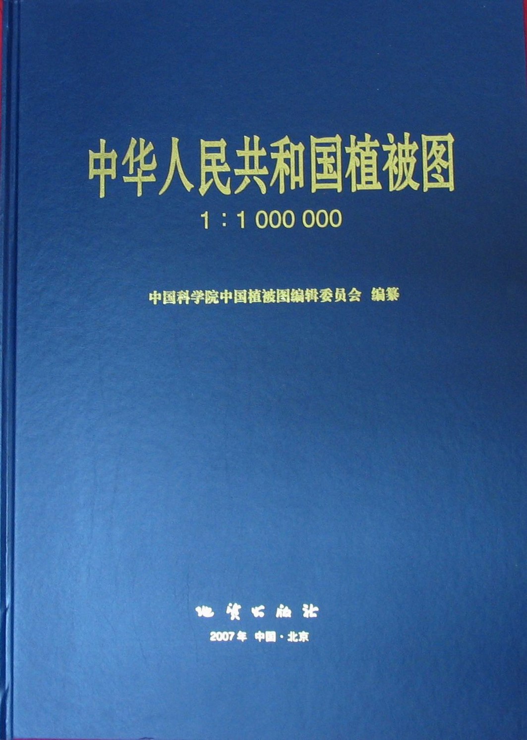
Vegetation Map of The People’s Republic of China (1:1000000)
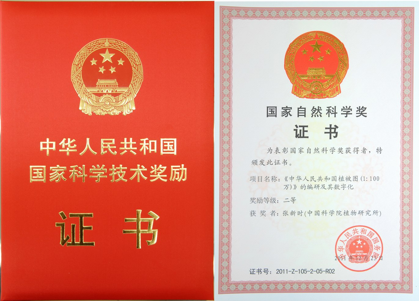
Certificate of the second prize of the State Natural Science
(Imaged by IOB)
Vegetation Map of The People’s Republic of China (1:1000000) Vegetation Map of The People’s Republic of China (1:1000000) (abbreviated as "Vegetation Map" hereinafter) , with CAS member ZHANG Xinshi of the Institute of Botany, Chinese Academy of Sciences as the chief-editor, was published in 2007. The Vegetation Map includes sixty Vegetation Type Map (1:1000000) in folio and one Vegetation Regionalization Map (1:6000000) in standard-sized sheet.The Vegetation Type Maps are present situation Vegetation Map, which reflect the situation of vegetation before the middle of 80s-90s in the last century, represent all country 11 vegetation type groups, 55 vegetation forms, 960 vegetation formations and sub-formations, more than 2000 communities dominant species, and geographic distribution of main and industrial crops; besides, reflect relationship of soil and grass-roots and shallow surface water with many vegetation units. Vegetation Regionalization Map shows difference of vegetation in district of vegetation of China. It divides all country into 8 vegetation regions, 12 vegetation sub-regions, 25 vegetation zone, 116 vegetation districts, and 464 vegetation sub-districts (Edition Board of Vegetation Map of China, Chinese Academic of Science 2007a). There are two volumes of illustrations support the Maps: The first volume brief the history of Vegetation Map, framework and rule of geographic distribution of vegetation in China, principle of classification of vegetation, and system of classification. And species of main formations and sub-formations, characteristic of communities, nature environment condition, ecological geographic distribution, brief economic evaluation, and 868 vegetation photos are involved in this volume. The another volume brief geographic position of vegetation districts and sub-districts, nature geographic condition, vegetation combination feature, making rational use of vegetation, direction of improving and advise of protection, and more than 8700 Latin-Chinese and Chinese-Latin checklist of common plant species that usual appear in figures and illustration (Edition Board of Vegetation Map of China, Chinese Academic of Science 2007b). An optical disk is prepared, a system of Vegetation Map database is established, and a system of simple and easy information managing is build, for the set of Vegetation Maps and illustration in order to be easy to read and use in computer by reader. By making use of these databases and information managing system, readers can random splice, cut, zoom, superimpose, change color, mark to any figures in computer; can make retrieval, extract, calculate, statistics to all kinds of picture factors; can form correlative subject chart or make a correlative multivariate analyses and model displaying with nature and society factors; and can quickly modify figures content and renew maps.
The Compiling and Digitization of the Vegetation Map was completed with the efforts of 3 generations of scientists, more than 200 people. It includes sixty-four Vegetation Type Map (1:1000000) in folio and one Vegetation Regionalization Map (1:6000000) in standard-sized sheet, two volumes of illustrations support the Maps, an optical disk, a system of vegetation map database, and a system of simple and easy information managing. The Vegetation Type Maps represent all country 11 vegetation type groups, 55 vegetation forms, 960 vegetation formations and sub-formations, more than 2000 communities dominant species, and geographic distribution of main and industrial crops. Vegetation Regionalization Map shows difference of vegetation in district of vegetation of China. It divides all country into 8 vegetation regions, 116 vegetation districts, and 464 vegetation sub-districts.
The Vegetation Map is an important basic materials in reflecting China's natural resources and ecological environment. It is necessary for studying of global change, biodiversity, environmental protection and monitoring; national zoning and planning of agriculture, forestry, animal husbandry and, planning of above the county level administrative units and medium-sized river basin ; regional construction, military, inspection and quarantine, research and public education.It has been applied in 44 major research projects sponsored by the Ministry of Water Resources, the Ministry of Environmental Protection etc. A huge technique innovation attempt is developing in Edition of Vegetation Map of China. In future, the authors will depend on remote-sensing information to edit great scale Vegetation Map which can reflect rapidly vegetation present situation, and integrate all types of Vegetation Maps and vegetation information into a uniform vegetation information system.
On February 14, The Compiling and Digitization of the Vegetation Map won second prize of the State Natural Science second prize of the State Natural Science Award of 2011.
| |
| Vegetation Map of The People’s Republic of China (1:1000000) |
| |
| Certificate of the second prize of the State Natural Science |